

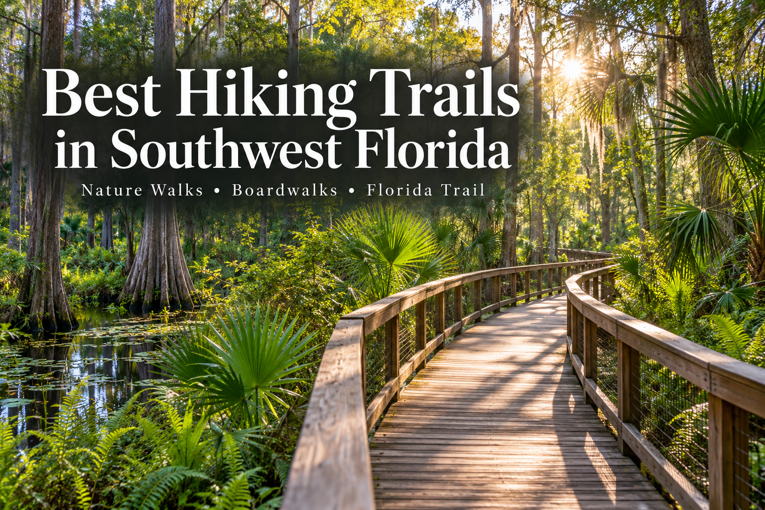
Southwest Florida’s beaches may get the spotlight, but its trails reveal another side of life along the Gulf Coast. Walk beneath towering cypress trees, follow a river through a shaded hammock, or watch shorebirds feed beside a coastal lagoon. Across Naples, Marco Island, Bonita Springs, Estero, Fort Myers, Sanibel, Cape Coral and Punta Gorda, getting outdoors can be as simple as choosing a nearby preserve.
Where should you hike in Southwest Florida? Our recommendations include Corkscrew Swamp Sanctuary near Naples for its cypress forest, Six Mile Cypress Slough Preserve in Fort Myers for an accessible boardwalk, Koreshan State Park in Estero for riverside scenery, and Four Mile Cove Ecological Preserve in Cape Coral for coastal wetlands. For experienced hikers seeking a backcountry adventure, the Florida Trail begins at Big Cypress National Preserve.
This guide combines short nature walks, boardwalks, beach walks and more demanding hiking routes. Our recommendations reflect the type of outing each place offers; they are not claims of firsthand visits or a formal ranking.
Southwest Florida Hiking: Quick Recommendations
Type of outing | Our recommendation | Area |
|---|---|---|
Cypress forest boardwalk | Corkscrew Swamp Sanctuary | Naples area |
Short, accessible nature walk | Six Mile Cypress Slough Preserve | Fort Myers |
River scenery and local history | Koreshan State Park | Estero |
Mangroves and coastal wetlands | Four Mile Cove Ecological Preserve | Cape Coral |
Island birdwatching | Bailey Tract | Sanibel |
Beach and shoreline walking | Tigertail Beach | Marco Island |
Longer primitive trails | Hickey Creek Mitigation Park | Alva |
Backcountry hiking | Florida Trail in Big Cypress | Ochopee |
Distances depend on your chosen route. Before leaving, check the managing organization’s current trail map, access notices, hours and fees. Flat terrain does not always mean easy hiking: heat, sand, mud and standing water can change the experience considerably.
Hiking Trails in Naples
Corkscrew Swamp Sanctuary
Location: 375 Sanctuary Road West, Naples
Distance: 2.25-mile boardwalk
Recommended for: Cypress scenery, birdwatching and nature photography
For a memorable introduction to Southwest Florida’s inland wetlands, start with Corkscrew Swamp Sanctuary. The boardwalk travels through changing habitats and an ancient bald cypress forest, bringing visitors close to the landscape without walking through swamp water. Slow down, look into the canopy and leave time to pause at the overlooks.
The boardwalk and visitor center are wheelchair accessible. Check seasonal hours and admission before visiting. Official visitor information
Clam Pass Park
Location: Seagate Drive, Naples
Distance: Approximately 0.75 mile each way on the boardwalk
Recommended for: Combining a mangrove walk with beach time
Clam Pass offers a coastal version of a nature outing. Follow the boardwalk through mangroves toward the beach, watching for birds and movement in the tidal waterways. It is a good choice when your group wants both a walk and time on the sand. Watch for the tram and other visitors along the shared boardwalk. Official park information
Fred W. Coyle Freedom Park and Gordon River Greenway
Area: Golden Gate Parkway and the Gordon River corridor, Naples
Distance: Varies by route and access point
Recommended for: Fitting a nature walk into a day around town
Freedom Park and the Gordon River Greenway offer two convenient ways to experience natural scenery within Naples. Choose Freedom Park for a wetland-focused outing or explore the Greenway’s paths and boardwalks along the river corridor. Treat them as distinct destinations when planning parking and mileage, and check each map for available connections and repair notices.
Freedom Park information · Gordon River Greenway information
CREW Bird Rookery Swamp
Location: 1295 Shady Hollow Boulevard, Naples
Trail system: Approximately 12 miles
Recommended for: A future longer outing after access is confirmed
Old logging tramways lead through a maple-cypress swamp at Bird Rookery Swamp. The landscape offers a more remote experience than a short urban boardwalk, with substantial distances and limited facilities beyond the entrance area.
Access note, checked October 22, 2026: The managing district lists the public parking area and boardwalk as closed for construction until further notice. It also lists temporary wet-condition closures at CREW Marsh Trails, Cypress Dome and Flint Pen Strand/Kehl Oaks. Confirm reopening directly before planning a CREW visit. Official CREW access notices
Nature Walks Near Marco Island
Rookery Bay Environmental Learning Center: Snail Trail
Location: 300 Tower Road, Naples, on the mainland near Marco Island
Distance: Approximately 0.5 mile
Recommended for: A short walk paired with environmental education
The Snail Trail offers a manageable introduction to Rookery Bay’s natural surroundings. Access is through the Environmental Learning Center and across the Henderson Creek walking bridge. Pair the outdoor walk with the center’s exhibits for an outing that gives the surrounding estuary more context. Check center hours and admission before going. Official reserve information
Shell Island Road: Monument Point Trail
Area: Shell Island Road, off Collier Boulevard
Distance: Short nature walk; consult the current reserve map
Recommended for: Exploring another part of Rookery Bay
Monument Point Trail begins near the Shell Island Road boat ramp and leads toward the Children’s Monument on Henderson Creek. It is separate from the Learning Center’s trails. Rookery Bay currently lists nearby Briggs Boardwalk as closed for renovations, so confirm which routes are available before visiting. Official reserve trail information
Tigertail Beach
Location: 480 Hernando Drive, Marco Island
Distance: Varies with shoreline route and turnaround point
Recommended for: Beach walking, shorebirds and coastal scenery
Tigertail is a shoreline outing rather than a conventional forest hike. The lagoon, sandy beach and changing coastal landscape give walkers a different perspective on Marco Island. Soft sand can make the walk more demanding than the distance suggests. Ask park staff about current beach access, tides and protected areas; do not assume crossing the lagoon is necessary or appropriate. Official park information
Hiking Near Bonita Springs and Estero
Koreshan State Park
Location: 3800 Corkscrew Road, Estero
Distance: Varies by trail combination
Recommended for: Riverside walking and history
Koreshan is our pick for an outing that blends nature with Southwest Florida history. Follow the River Trail beside the Estero River, where bamboo gives way to oak and cabbage palm forest, then leave time to explore the historic settlement. Its location makes it a convenient option for visitors staying in Estero or Bonita Springs. Official park information
Estero Bay Preserve State Park: Estero River Scrub
Access: Broadway West, Estero
Distance: Varies by marked route
Recommended for: A more primitive walk through scrub and flatwoods
Choose Estero River Scrub when you want natural-surface trails rather than a boardwalk. Expect exposed sections and conditions that change with rainfall. Use the park’s current map to select a route suited to your time and comfort level. Official park information
Hiking Near Fort Myers Beach
Lovers Key State Park: Black Island and Eagle Trails
Location: 8700 Estero Boulevard, Fort Myers Beach
Distance: Varies by trail and loop
Recommended for: Maritime hammock, estuary scenery and a beach-day combination
Lovers Key adds a coastal setting to the region’s hiking choices. Black Island Trail explores the estuarine landscape, while Eagle Trail passes through maritime hammock along inner waterways. Choose a route from the current park map and pair your walk with beach time if conditions allow. Official trail information
Estero Bay Preserve State Park: Winkler Point
Access: Southern end of Winkler Road, Fort Myers
Distance: Varies by route
Recommended for: Primitive coastal habitat and birdwatching
Winkler Point is on the mainland in Fort Myers, rather than on Fort Myers Beach. This separate Estero Bay Preserve access area offers a less developed outing, with exposed terrain and seasonal wetness. Check the park’s access notices before setting out. Official preserve information
Hiking in Fort Myers and Alva
Six Mile Cypress Slough Preserve
Location: 7751 Penzance Boulevard, Fort Myers
Distance: 1.2-mile accessible boardwalk
Recommended for: Families, first-time visitors and a slower nature walk
Six Mile Cypress Slough is our recommendation for a manageable Fort Myers outing focused on wetland scenery. The elevated boardwalk offers observation areas where visitors can pause and watch the habitat rather than concentrate on uneven ground. Bring binoculars and take your time.
October 2026 notice: The boardwalk is scheduled to close at noon October 23 through October 24, reopening at dawn October 25. Check for updates before visiting. Official preserve information
Caloosahatchee Regional Park
Location: 19130 North River Road, Alva
Distance: More than 20 miles across the park’s combined hiking, biking and equestrian network
Recommended for: Planning a longer outing in eastern Lee County
The Caloosahatchee River corridor provides a change of scenery from coastal mangroves. Use the park map to identify designated hiking routes and their access points; the overall trail total includes several activities and should not be read as hiking-only mileage. Official park information
Hickey Creek Mitigation Park
Location: 17980 Palm Beach Boulevard, Alva
Distance: Three loop trails totaling approximately 5 miles
Recommended for: A longer natural-surface hike
Hickey Creek offers a more rustic alternative to Fort Myers’ boardwalk walks. Its trail system explores scrubby flatwoods and hardwood habitat along the creek. Choose your loops before starting, wear sturdy footwear and allow extra time for uneven ground. Official park information
Nature Trails on Sanibel
Bailey Tract
Access: Tarpon Bay Road, Sanibel
Distance: Varies by selected loop
Recommended for: Birdwatching and exploring Sanibel beyond the beach
Part of J.N. “Ding” Darling National Wildlife Refuge, Bailey Tract introduces visitors to the island’s interior freshwater habitats. It is a good choice for walkers interested in watching birds and looking more closely at Sanibel’s inland environment. Check refuge alerts for construction-related parking or boardwalk restrictions. Official refuge trail information
Sanibel Gardens Preserve
Area: Island Inn Road, Sanibel
Distance: Select your route using SCCF’s current map
Recommended for: Discovering the island’s interior preserves
Sanibel Gardens Preserve adds another option for exploring native island habitat. Use the Sanibel-Captiva Conservation Foundation’s trail directory and interactive map to locate current entrances and available connections. Follow the rules for the particular trail you choose, since permitted uses differ across preserves. SCCF public trails
Hiking Trails in Cape Coral
Four Mile Cove Ecological Preserve
Location: 2589 SE 24th Street, Cape Coral
Distance: Approximately 1.25 miles of nature trail and boardwalk
Recommended for: Coastal wetlands within the city
Four Mile Cove is our pick for a Cape Coral nature walk with a strong sense of place. Its brackish wetland setting and boardwalk make room for a slower outing centered on mangroves, birds and water views. Official preserve information
Yellow Fever Creek Preserve
Area: Northeast Cape Coral
Distance: Lee County lists a 2.5-mile marked trail system
Recommended for: Pine flatwoods and a natural-surface walk
This Lee County preserve offers a different habitat from Cape Coral’s coastal boardwalks. Use the county’s directions and map for access: adjacent city-managed land shares the Yellow Fever Creek name, making it important to choose the correct entrance. Official county preserve information
Rotary Park Environmental Center
Location: 5505 Rose Garden Road, Cape Coral
Distance: Less than 1 mile on the nature trail
Recommended for: A short outing through uplands and salt marsh
A short trail can still provide a worthwhile look at local habitat. Rotary Park’s nature trail is described by the city as rugged, so do not assume a paved stroll. Check current facility notices; the city lists observation tower closures for repairs. Official park information
Hiking Near Punta Gorda
Charlotte Harbor Preserve State Park: Old Datsun Trail
Area: Burnt Store Road, Punta Gorda
Distance: Consult the current park map for your selected loop
Recommended for: Flatwoods, hammocks and birdwatching
Old Datsun Trail explores a landscape where former agricultural land has returned toward natural habitat. It offers a quieter inland perspective on the Charlotte Harbor area. Confirm the trailhead location with the managing organization before navigating. Trail information
Alligator Creek Preserve
Location: 10941 Burnt Store Road, Punta Gorda
Distance: Multiple trail options; choose from the current map
Recommended for: Combining a nature walk with environmental learning
The Charlotte Harbor Environmental Center provides a useful starting point for exploring Alligator Creek’s trails. Look for seasonal guided walks if you would like more interpretation of the preserve’s habitats. Official preserve information
Charlotte Flatwoods Environmental Park
Location: 15801 Tamiami Trail, Punta Gorda
Distance: Varies by route
Recommended for: Flatwoods and wetland scenery
Charlotte Flatwoods offers another option for exploring southern Charlotte County’s natural landscape. Its location beside other conservation lands gives the outing a broader environmental context: this is part of a wildlife corridor connected to the Babcock/Webb area. Official park information
The Florida Trail in Big Cypress National Preserve
Where does the Florida Trail begin? The southern terminus of the Florida National Scenic Trail is at the Oasis Visitor Center in Big Cypress National Preserve, along U.S. 41 near Ochopee. This makes Southwest Florida the starting point for one of the country’s national scenic trails.
The National Park Service describes the statewide route as approximately 1,400 miles. Its Big Cypress section passes through cypress, prairie and pineland habitat, offering a backcountry experience that differs substantially from the boardwalks in this guide.
Our recommendation: Consider this section if you have backcountry hiking experience, navigation skills and a plan suited to current conditions. A short out-and-back still requires preparation. Uneven limestone, heat, standing water and limited services can make modest mileage demanding.
Before hiking, check National Park Service and Florida Trail Association alerts, obtain required backcountry permits, carry navigation tools and adequate drinking water, and share your route and return time. Even during the dry season, do not assume the trail will be dry or that drinking water will be available.
National Park Service hiking information · Florida Trail Association
Frequently Asked Questions About Hiking in Southwest Florida
When is the best time to hike in Southwest Florida?
Generally, November through April offers more comfortable conditions for longer hikes. Rainfall and water levels vary, so check the forecast and trail notices even during the dry season. In warmer months, favor shorter outings early in the day during posted opening hours.
What are good Southwest Florida trails for beginners?
Our starting recommendations are Six Mile Cypress Slough Preserve in Fort Myers, Corkscrew Swamp Sanctuary near Naples, and a short route at Koreshan State Park in Estero. Choose based on distance, surface, shade and current conditions.
Are there wheelchair-accessible nature trails in Southwest Florida?
Yes. Six Mile Cypress Slough Preserve has an accessible 1.2-mile boardwalk, and Corkscrew Swamp Sanctuary lists its boardwalk and visitor center as wheelchair accessible. Contact the location about current access and any specific equipment needs before visiting.
Can you hike in Southwest Florida without walking through water?
Yes. Elevated boardwalks provide a way to explore wetland habitats without intentionally wading. Primitive trails, including the Florida Trail in Big Cypress, may have standing water. Check conditions before selecting your route.
Are dogs allowed on Southwest Florida hiking trails?
Rules vary by property and sometimes by trail within the same preserve. Check the managing organization’s pet policy before bringing a dog, keep permitted pets leashed, and give wildlife plenty of space.
What should you bring on a Southwest Florida hike?
Bring drinking water, sun protection, insect repellent, footwear suited to the surface, a charged phone and a trail map. Longer primitive hikes require additional navigation and emergency supplies. Stay on designated routes, watch the weather and never feed wildlife.
Explore the Outdoor Side of Southwest Florida Living
A favorite trail can become part of your weekly routine, from a morning boardwalk walk in Fort Myers to a weekend outing near Naples or Punta Gorda. Exploring these places is also a way to learn how Southwest Florida’s communities relate to their rivers, wetlands and coastal preserves.
Considering a move? John R. Wood Christie’s International Real Estate can help you explore Southwest Florida communities and find a home that fits the way you want to live. Explore Southwest Florida real estate.


Socials